|
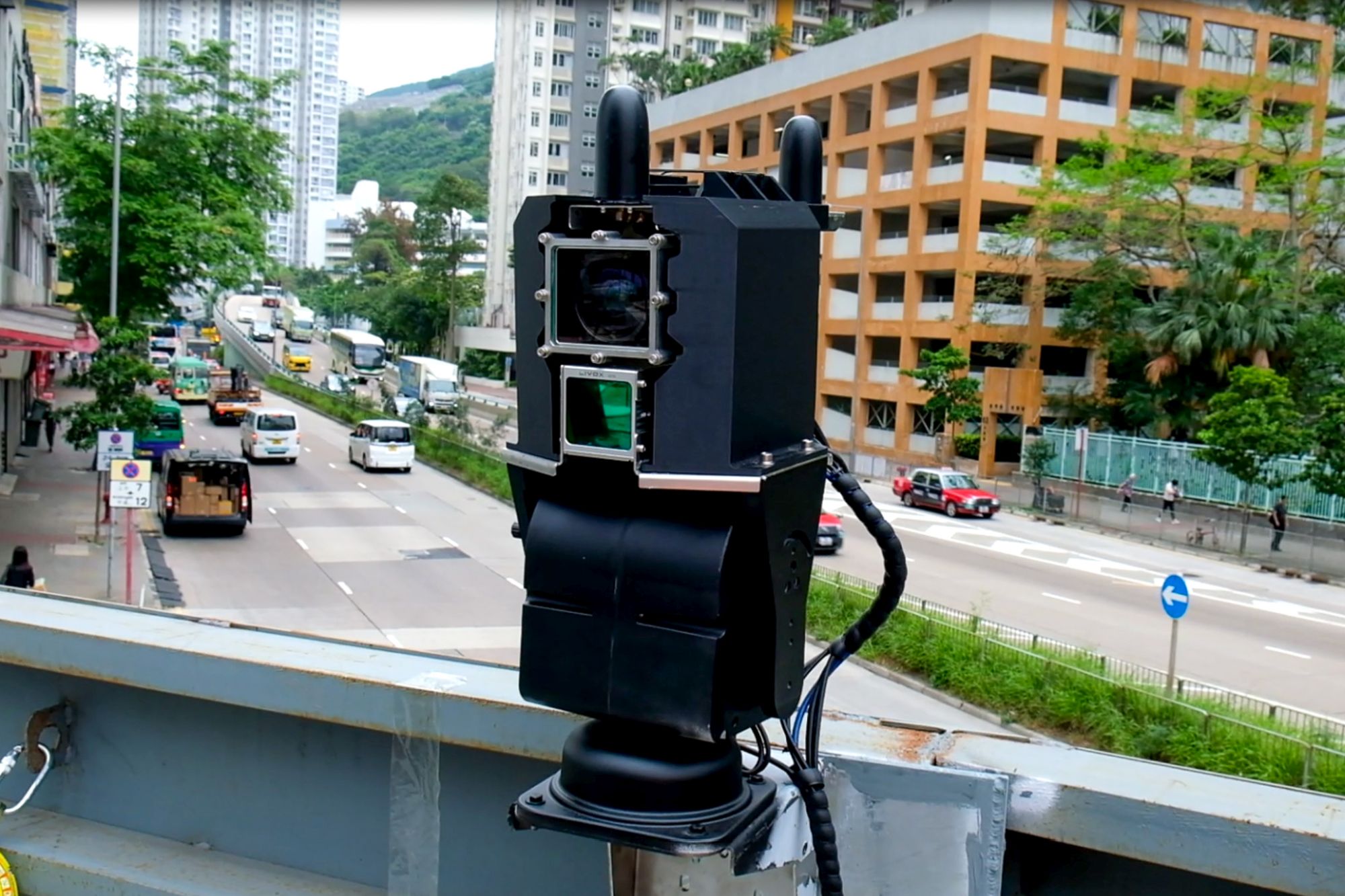
| The “SmartEye” operates by scanning a construction site first by 4D LiDAR, and converting the data into a coloured spatial dataset (Point Cloud). Through edge computer processing and high-speed 5G transmission, the real-time site conditions are rapidly rendered in full 3D and displayed on an AI-driven dashboard. |
| Close |