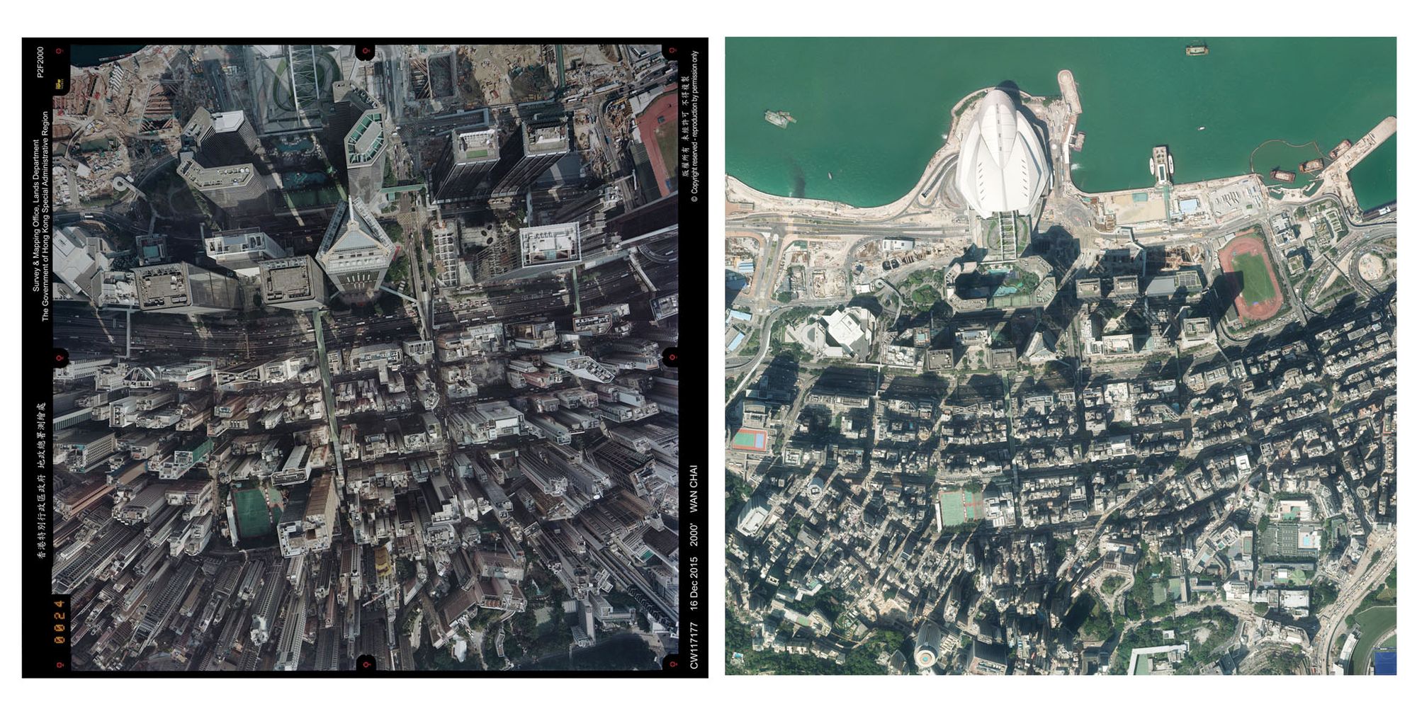
The Survey and Mapping Office (SMO) processes the aerial photographs taken and performs “orthorectification” with computers and photogrammetry software.
The Survey and Mapping Office (SMO) processes the aerial photographs taken and performs “orthorectification” with computers and photogrammetry software.