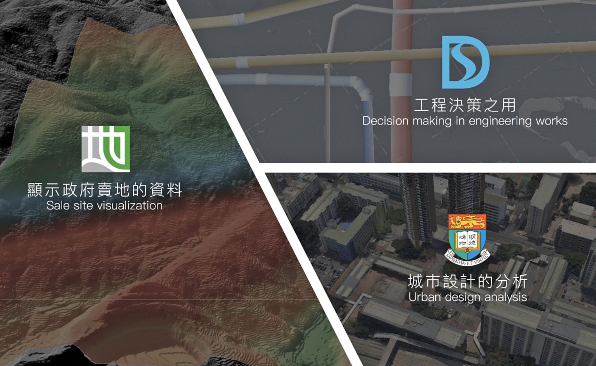
Complementing other geospatial data like information from various government departments, the 3D Visualisation Map supports urban planning, land administration, project development, other technical assessments, etc.
Complementing other geospatial data like information from various government departments, the 3D Visualisation Map supports urban planning, land administration, project development, other technical assessments, etc.