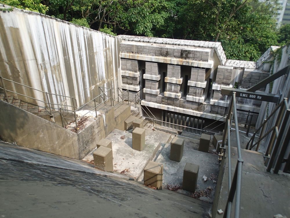
Landslide risk assessment with the use of a digital topographical model and geological data can help to reduce the project costs and time and impacts on the surrounding environment. Pictured is the rigid debris-resisting barrier at Shek Pai Wan.
Close