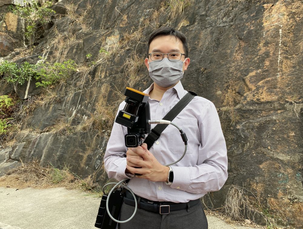
Geotechnical Engineer of the GEO, Mr LEUNG Wai-kin, introduces us to the laser scanner he is holding, saying that the data collected by the scanner can form a 3D topographical model on a computer monitor, which can help the department assess landslide risks.
Close