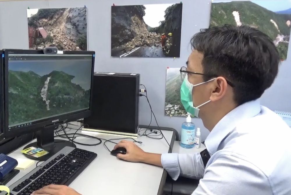
The Landslip Investigation Section uses drones to observe and take photos of the slope and puts together a 3D digital terrain model with the related data to help them to find out the causes and mechanism of the landslide above Sai Wan Road in Sai Kung.
Close